Saturday, November 26, 2011 - We packed a picnic lunch, left home and headed east on Hwy 60 to Globe; then north on Hwy 188 to Lake Roosevelt. [Yes, we've been on that part before]. We went past Tonto Monument entrance and followed the lake. Hwy 188 came to a "T" at Hwy 87. We decided to go north to Payson - more like home - Junipers and Pinon Pines. It became very cold as we hit wind and higher elevations - about 58. We found a picnic table where we could sit in the sun and listen to the Ponderosa Pines. We then headed south on Hwy 87 until we hit the 202 loop north of Mesa and then on home.
 |
| Bridge over a portion of Lake Roosevelt |
 |
| Juniper hills near Payson |
 |
| Headed south from the Rim |
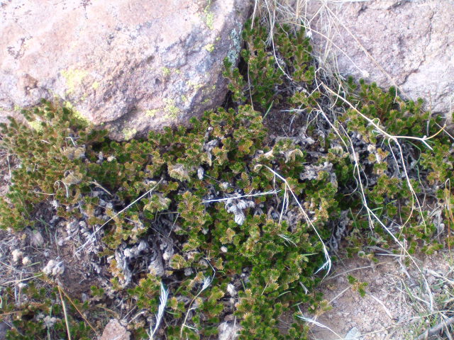
Thursday, December 1, 2011 - Pictures from our hike:
 |
| Cholla blossom/fruit |
 |
| Rose-like fern plants in rocks |
 |
| Fruit of the barrel cactus |